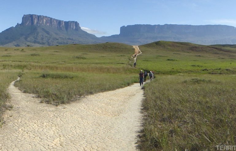
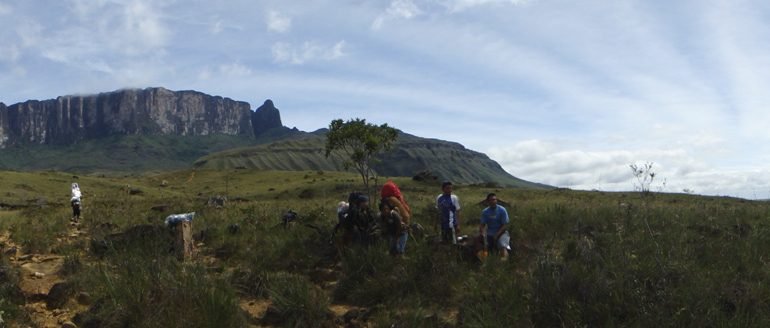
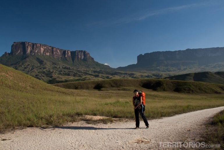
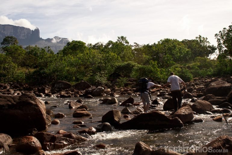
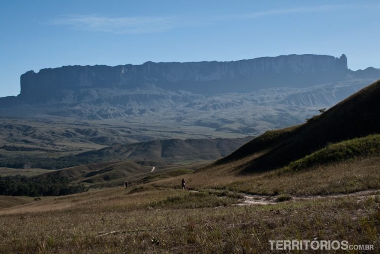
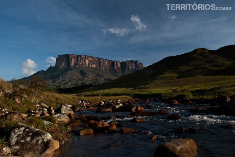
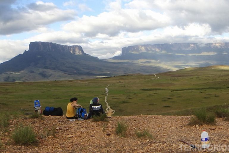
Almost done! The last 14 km pela savana até Paratepuy, where one jeep is waiting for us.
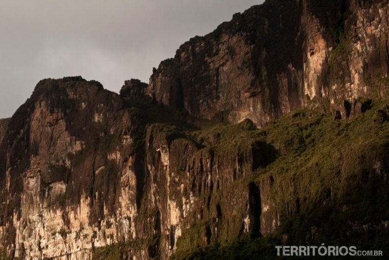
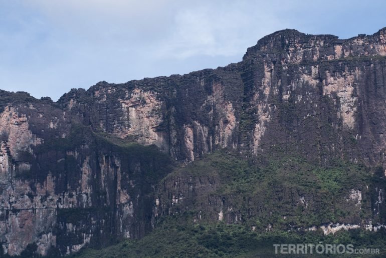
The neighbour mountain of Mount Roraima is called Matawi or Kukenán. That is where sacrifices took place; the Indians offered themselves to calm Makunaima
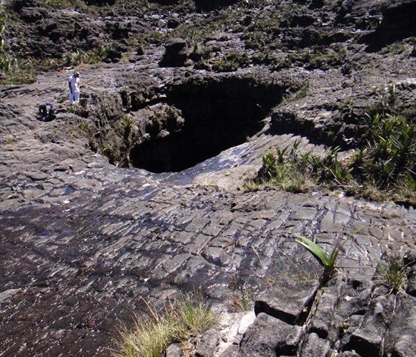
Time to start the descent but before a little bit more exploration of the summit..
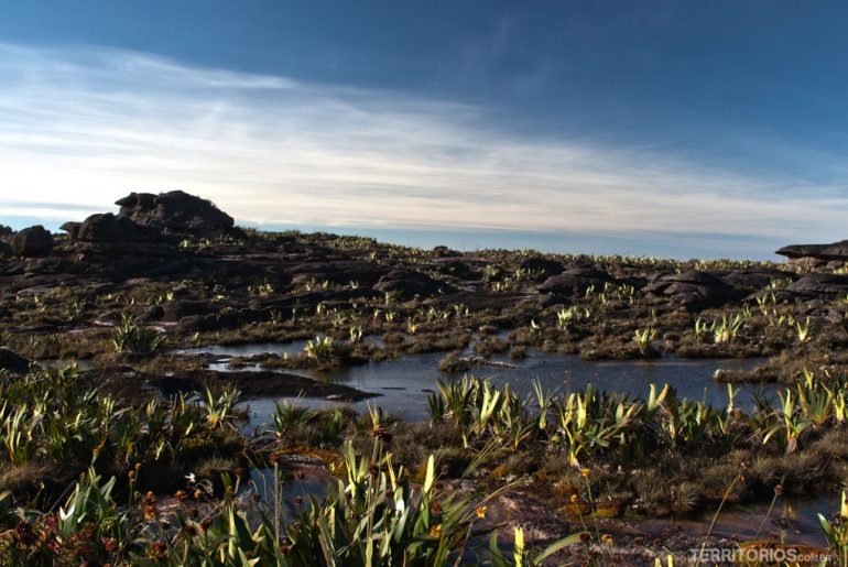
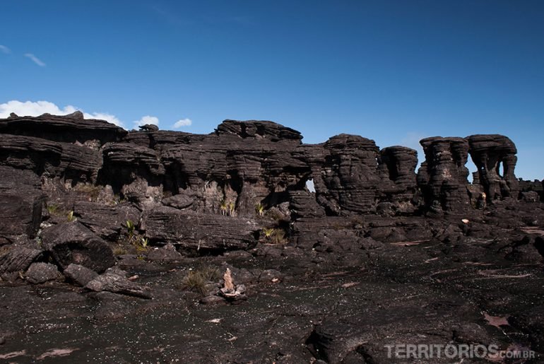
Time to explore the summit of Monte Roraima crossing borders between Venezuela, Guyana and Brazil.
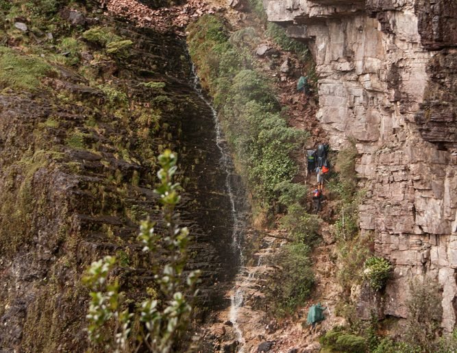
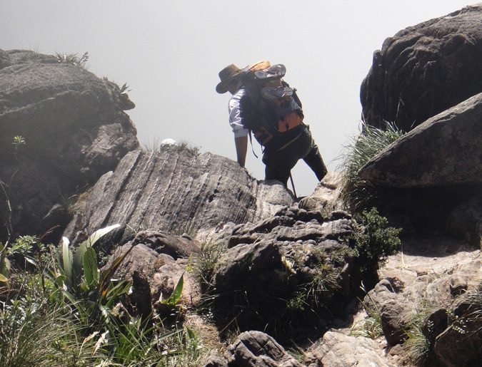
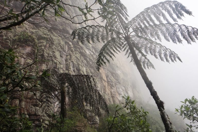
Came the most difficult part of the expedition, time to really face the slope and reach the top.
I just organized all best photos on this gallery. We did two expeditions on december/january 2012 and 2013. See an interactive map with the places we’ve been and some links to related articles bellow.
Mount Roraima expedition day bay day. Contrary to the weather forecast that it would be clear in the morning and then cloudy, Roraima woke up cloud-capped and cleared up throughout the day. Day2
In the northern border of Brazil there is a mysterious mountain where you only reach by foot or helicopter. It was 90 km hiking in six days with no comfort and totally integrated in nature.
Mount Roraima is one of the hardest trails I have ever done. Even wearing suitable clothing and equipment and being an expert at this kind of trekking, it is vital to have specific physical preparation. I confess I failed; I did not work out for months like I did before. It just happens that the trip was an opportunity, I decided to accept the challenge three days before leaving and, even with the difficulties, I am sure it was worthwhile.
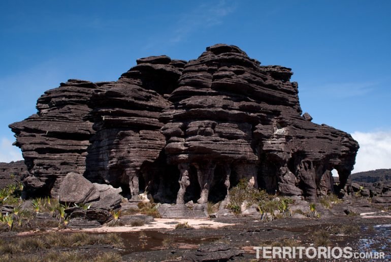
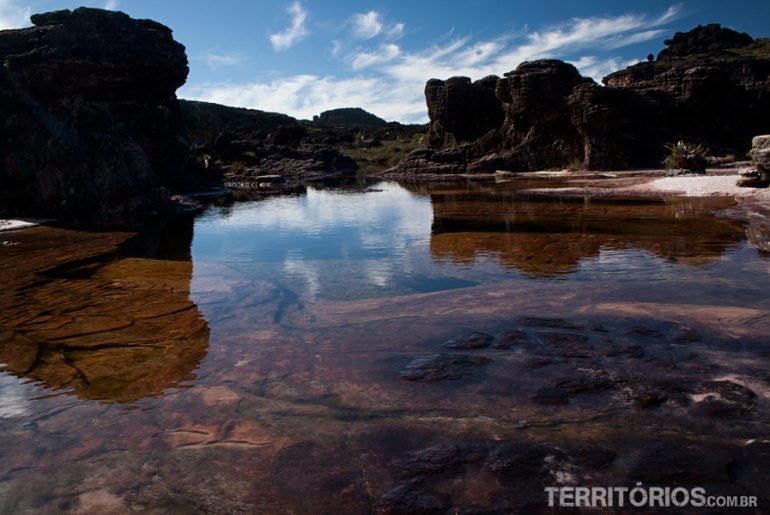
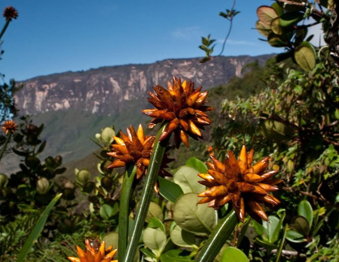
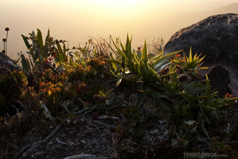
On top of the lost world I found the most beautiful gardens I have ever seen in my life. Buques, mandalas, weather-beaten trees, the noise of running water, crystals sprouting, flowers blooming in the rocks, sandy and muddy winding paths, puddles and rocks full of meaning.

